
Maps can distort our views of the world. Thongchai Winichakul, in Siam Mapped, wrote that the map of Thailand became a metasign—it acquired meanings that transcended its initial uses. For example, some Thais used their country’s map for political statements. The Communist Party made its form into a poster and drew Laos as a crouching man in Marxist garb yelling at Thailand to wake up. McDonald’s golden arches have become a sign of capitalism, with meanings that range from a safe and clean place for families to have a quick meal to images of bland mass-produced suburbia and soulless corporations that whet people’s appetites for high-fat foods that clog their arteries.
Because a sign can acquire new meanings and work in several contexts, mapmakers hold tremendous power. This potency can blind people to much of the world’s richness and force it into the patterns that the map’s outline imposes. Winichakul noted that maps in Thailand:
1, Created artificial divisions. They imposed lines between “Us” and “Them” that were not sharp before Chulalonkorn’s reign. The border with Laos became firm even though most people in both countries are ethnically Tai, speak related languages, follow Theravada Buddhism, and share many artistic traditions.
2. Took autonomy away from principalities in the borderlands that had their own lords, rituals, and spirit cults
3. Eliminated Tai traditions of holding loyalties to several larger courts at the same time and thereby finding safety in numbers. Everyone was now incorporated into one kingdom which hemmed in their identities.
The Japanese historian Hayashi Yukio said that when Chulalongkorn created provinces, Lao living in eastern Thailand were suddenly forced to call themselves Thai. This compromised their independent identities. Many minorities in Laos who aren’t ethnically Tai have been marginalized since it became a nation. The map became a means for people in power to increase their authority by marginalizing and suppressing many societies. Winichakul wrote that it turned human beings into its own servants—into means for its tendency to over-categorize and divide the world.
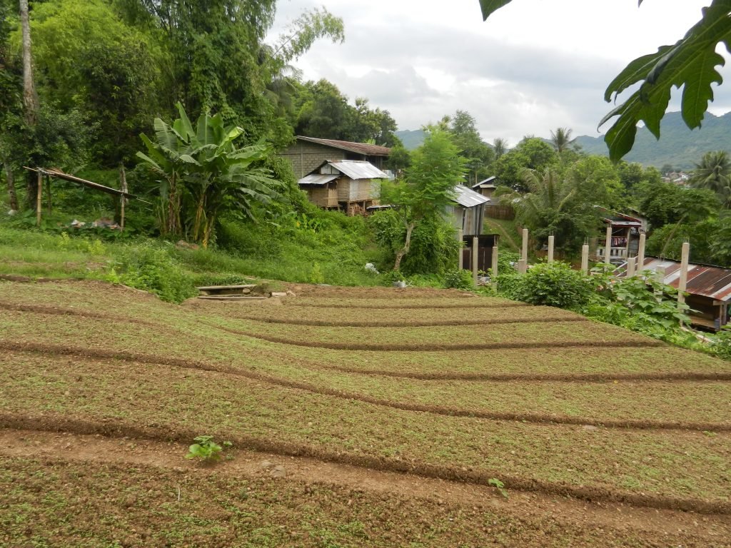
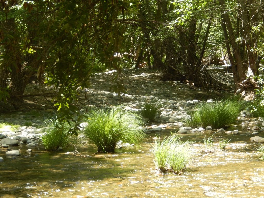
In the 19th century, a lawyer asked a Creek Indian how many rivers are in his people’s territory. He didn’t know, and the Anglos that the lawyer represented used that to justify taking their land. But he didn’t think about rivers as though they’re abstract entities to quantify. He and people in many other Native American tribes apprehended rivers and other features of their natural environments in more intimate ways. Each specific part of a river was highly meaningful. Each bend, prominent stone and tree, and place with unique currents was connected with personal and collective experiences, as well as lore about animals and spirits. Creeks’ experiences with features of rivers were too robust to put onto maps, and AI’s large language models don’t fully convey them.
Maps have certainly allowed people to comprehend much of the world. John Noble Wilford detailed this history in The Mapmakers, saying that they have allowed us to envision and compare climates, population densities, election results, soils, vegetation, sea temperatures, metals, and earthquake epicenters all over the globe. But they also leave out a lot of its richness while giving the impression of comprehensiveness.
They don’t as easily express cultural fusions, multidirectional cultural influence, and oppressed cultures (including Islamic societies in Southeast Asia; Celts, Basques, and Gypsies in Europe; and many African and Native American cultures). They also leave out most of the historical richness of places and the nuances in great works of art. Instead, they reduce the world to the few variables that the mapmakers focus on. But each country, city, culture, and natural environment that they locate is also infinite, and it’s connected with other places in infinite ways. We can gain insights about how much greater our world is than one map by looking At/With/Beyond each place. .